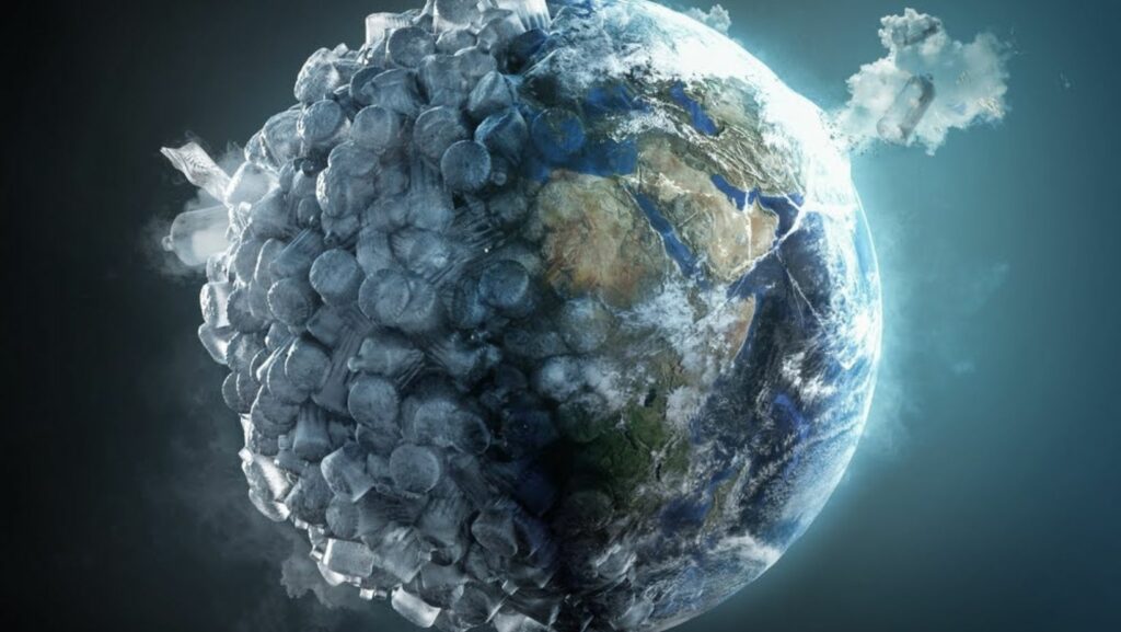
In the face of unprecedented environmental challenges, our understanding of the planet’s shifting landscape can feel like trying to piece together a puzzle without all the parts. But what if we had a vantage point that allowed us to see everything: every shrinking glacier, every stressed forest, every dry riverbed? This is what modern satellites offer, transforming what was once invisible into a wealth of data that empowers us to make smarter decisions. By capturing the planet from above like architecture experts create designs, satellites are not only revealing the scope of our environmental impact but also lighting the path toward more sustainable solutions. Through historical and most recent satellite images they offer a new way to track, analyze, and ultimately protect the natural world we all depend on.
Deforestation and Land Use
Easy access to different satellite imagery has revolutionized the way we approach environmental conservation by allowing us to monitor and analyze deforestation, track land use changes, and assess the health of ecosystems almost in real-time.
Using satellite images to track current events, such as illegal logging or agricultural expansion, provides critical data over vast and remote areas. The detailed information they provide helps organizations and governments make informed decisions to protect vulnerable regions and restore degraded lands. One powerful example of this technology in action can be seen in the case of Madagascar’s baobab forests, where satellites are aiding in conservation efforts amidst escalating deforestation.
The baobabs of Madagascar, with their massive, ancient trunks and unique, otherworldly silhouettes, are more than just trees — they’re icons of the island’s rich biodiversity and cultural heritage. Unfortunately, these majestic giants are now under serious threat due to widespread deforestation, primarily driven by agricultural expansion, illegal logging, and climate change. The loss of baobab trees has had severe implications not only for the environment but also for local communities that rely on them for food, water, and income.
EOS Data Analytics stepped in to support the revitalization of these crucial forests. By employing their satellite technology, EOSDA was able to identify the areas most affected by deforestation and provide crucial insights on soil health and vegetation dynamics. This data guided conservationists in targeting specific areas for reforestation, ensuring that resources were used efficiently. With the help of EOSDA’s monitoring tools, the survival rates of transplanted baobab seedlings were tracked, showing encouraging early signs of recovery. This collaboration between science, technology, and local communities offers a beacon of hope for preserving Madagascar’s baobab forests and creating a sustainable future for the region.
Precision Agriculture
Precision agriculture is basically the new way we grow our food, turning farming into a high-tech endeavor where every square meter of a field is carefully managed to deliver the best results concerning both farmers income and the environment. Up-to-date satellite images play a huge role in this, offering growers a detailed, real-time view of their crops’ health and soil conditions. By capturing data on variables such as plant vigor, moisture levels, and potential pest issues, satellites help farmers pinpoint exactly where intervention is needed. This means more targeted use of resources, such as fertilizers and pesticides, ultimately leading to better yields, lower costs, and a reduced environmental footprint.
But the benefits of satellite-powered precision agriculture go beyond efficiency. It also allows for proactive, rather than reactive, farming. With the ability to monitor crop development across large fields, farmers can spot early signs of disease, drought stress, or nutrient deficiencies before they become critical. This insight enables them to take timely action, preventing crop loss and improving overall resilience. In essence, satellite imagery provides farmers with a kind of digital “sixth sense,” allowing them to see what the naked eye cannot and respond with precision to challenges that would otherwise be hard to detect. The result is a smarter, more sustainable approach to feeding the world’s growing population.
Climate Change
Satellite imagery has become one of the most powerful tools in our arsenal to understand, monitor, and combat climate change. From the serene view of polar ice caps to the expanse of sprawling rainforests, satellites offer a comprehensive perspective on how our planet is evolving in response to global warming. They help us track everything from the gradual melting of glaciers to the expansion of desert areas, providing critical data that shapes our understanding of climate dynamics. With access to continuous, real time satellite view, researchers can identify patterns that would otherwise go unnoticed, enabling them to forecast long-term changes and devise more effective strategies for mitigating environmental damage.
What makes satellites particularly valuable is their ability to see changes across the entire globe, even in the most remote and inaccessible regions. For example, they can monitor greenhouse gas concentrations in the atmosphere, measure sea-level rise, and detect changes in vegetation cover with remarkable precision. This wealth of information helps governments and organizations develop targeted policies, assess the effectiveness of conservation efforts, and plan for climate adaptation strategies.
Water Resource Management
Managing water resources has always been a delicate balancing act, but with the help of current satellite imagery, it’s becoming a more precise and effective process. Satellites can capture detailed images of rivers, lakes, reservoirs, and groundwater systems, providing invaluable data for understanding the distribution and availability of water across regions. This technology offers real-time insights into how water bodies are changing, whether it’s the shrinking of a reservoir due to prolonged drought or an increase in water levels following heavy rainfall. With this unique perspective, scientists and water managers can monitor surface water and track water quality, identifying contamination and predicting potential shortages long before they become a crisis.
But the impact of satellite imagery in water management doesn’t stop there. By analyzing trends and patterns over time, satellites can help assess the health of entire watersheds, monitor the rate of glacial melt, and even estimate groundwater reserves in areas where direct measurement is challenging. These insights are essential for developing strategies to prevent flooding, manage agricultural irrigation, and ensure that urban areas have a steady, sustainable water supply. As climate change alters precipitation patterns and population growth puts more pressure on existing water resources, satellite imagery is proving to be an indispensable tool for making informed decisions that safeguard our most vital natural resource.